
By working with a broad coalition of Tribal, State, local and private entities, Snohomish County and its Sustainable Lands Strategy have carved a path forward that supports the development of fish, farm, and flood projects within the North Fork Stillaguamish River.
Integrated floodplain management is a holistic way to manage river resources to benefit diverse interests.
This project was supported National Estuary Program funds provided by the Habitat Strategic Initiative and is aligned with the Floodplains and Estuaries Implementation Strategy. The current draft is open to public comment until May 15th (link here!).
A healthy floodplain is a place where both people and nature thrive. Each reach of a river contains important salmon habitat and prime farmland, and each experiences damage from flooding. To be successful, partners and willing landowners must work together to put forward ideas that protect the health and livelihood of a more resilient floodplain community.
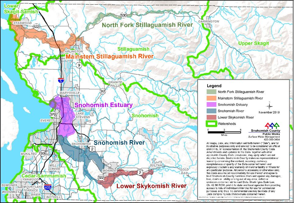
The North Fork Stillaguamish Reach-scale Plan is the final piece of the Stillaguamish Integrated Floodplain series, which includes the Mainstem Stillaguamish, Lower Skykomish, Snohomish River, and Snohomish Estuary plans.
What is Reach-Scale Planning?
“Reach-scale planning“ is a collaborative approach where residents and stakeholders impacted by an issue are integrated into the process of creating solutions for their community.
How is it done? It starts by engaging the community in asking and answering questions:
- How does flooding impact you today?
- How will impacts change as flooding changes with climate in the future?
- What can we do to create resilience for all — to keep local farms viable, reduce flood hazards for residents and recover threatened salmon runs?
By integrating residents and stakeholders into the process, a reach-scale plan results in a strategy that proposes coordinated actions and projects that benefits local agricultural operations, fish habitat, and flood risk reduction.
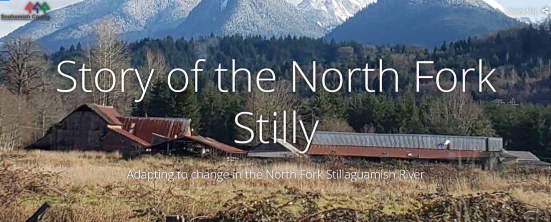
Story of North Fork Stilly
In addition to the plan itself, Snohomish County also developed an interactive Story Map delving into the history of the North Fork Stillaguamish River. They have also updated the Reach-scale Plan interactive SLS Web Map, which covers all the planning areas. The SLS Web Map provides quick access to the data layers provided in the entire reach-scale planning area, including the North Fork Stillaguamish.
Check out the project factsheet for more information!
What’s Next?
Snohomish County and its Sustainable Lands Strategy partnership are working together to address many of these floodplain challenges in new ways in the Stillaguamish watershed. Community efforts currently underway in the North Fork Stilly — including the Trafton Floodplain Restoration, the Cicero Floodplain Acquisition, and the Rengen Ranch projects — all aim to address these flooding, farming, and fish habitat concerns.
For an example of how integrated floodplain management is being pursued elsewhere in Snohomish County, visit the Community Floodplain Solutions website.
Did you Know?
The goal of the project was to create a plan that supports the development of fish, farm, and flood projects within a major river reach in Snohomish County. This project implements the Floodplains and Estuaries Implementation Strategy (currently being updated). Snohomish County received NEP funding from the Habitat Strategic Initiative as the final piece within a series of efforts also funded by the Habitat Strategic Initiative. Discover other related projects that are funded by the Strategic Initiatives!