We talk about the importance of habitat protection and restoration in Puget Sound all the time at the Habitat Strategic Initiative Lead (HSIL). Forests, wetlands, streams, floodplains, estuaries, beaches and marine vegetation need protection from development, and in many cases, restored after decades of degradation. But how do we identify which habitats are healthy and which need greater protection? Which habitats are good candidates for restoration? And how do we decide which of these habitats we prioritize when there are so many options?
More...
To answer these questions, the HSIL funded a suite of projects that updated public maps identifying important habitats and developed tools to support prioritization. For example, the HSIL provided funding to the Department of Natural Resources (DNR) to update the Washington Natural Heritage Program (WNHP) maps, which include the Ecological Integrity Assessment Map Viewer (NTA 2018-0652).
The updated map includes data on the current condition of upland and wetland ecosystems. This data is available to the public and can be used to support restoration and conservation actions by identifying the high quality habitats that should be protected, and moderate or low quality habitats that may benefit from restoration activities.

The Department of Fish and Wildlife (WDFW) also received HSIL funding to correct the location of thousands of miles of streams in the National Hydrography Dataset (NTA 2018-0436). Now that an additional 3,000 miles of streams are accurately mapped, we can better plan to protect and restore them.
In a related effort, WDFW developed a fish barrier prioritization tool, which identifies the barriers to salmon migration across Puget Sound. The tool is publicly available, meaning that any restoration manager can access the map to better understand where fish passage barriers exist, and prioritize barrier removal projects based on this information.
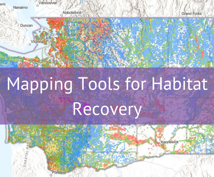
Mapping tools to prioritize protection and restoration

Fish returning the same year as a successful barrier correction. Photo Credit: WDFW.
Knowing where the important habitats are located is only half the battle. The next step is to prioritize how to use limited resources to achieve the greatest benefit. Mapping tools can support decision-making at the watershed and local level. The Hood Canal Coordinating Council (HCCC) just completed an HSIL-funded project that developed a decision-support tool using mapping data.
The Land Assessment and Prioritization (LAP) Tool focuses on watershed health and salmon habitat, and includes spatial information from a mix of federal, state, and local sources, including the NHD and WDFW’s fish passage barrier inventory (NTA 2018-0388). This updated information improves the decision-making and prioritization driven by the LAP tool, based on best available science.

LAP Tool process to create electronic maps. Credit: HCCC
Projects like the LAP tool cut across disciplines to compile all the information on an area in one place. The LAP tool combines information on ecosystem conditions, existing development, and land use regulations, which shows where habitats are already protected and where they might be at risk due to future development.
The LAP tool can be used for a variety of purposes, including visualizing spatial data, exploring the watershed, testing hypotheses, identifying areas of concern, projecting future landscape conditions, and describing an area and its conditions. Land and resource managers, city and county planners, local environmental groups, and even individual property owners can access the LAP to make better informed decisions that impact habitats.
HCCC hopes to continue to add new and updated data sets to the LAP. Data sources, such as WDFW and DNR, will continue to refine their maps so tools like the LAP tool continue to be useful.
Did you know?
Funding for the projects comes from the Environmental Protection Agency’s (EPA) Puget Sound Geographic Program through the Habitat Strategic Initiative Lead (HSIL), a partnership between WDFW and DNR to preserve and restore Puget Sound habitat through strategic planning, funding, outreach and collaboration.
The HSIL developed investment priorities in partnership with an advisory team and include changing planning paradigms, enabling project development and readiness, encouraging behavior change, strengthening regulatory support, and increasing information and evaluation necessary for habitat planning, policy, implementation and decision-making. Selected projects went through a robust review process in consultation with policy professionals and subject matter experts from the Puget Sound recovery community.