

You are invited to learn about the Washington State Agland Database! On Monday, June 21st the Washington State Conservation Commission will be hosting a webinar with the Natural Resources Spatial Informatics Group at the University of Washington to explore this new tool.
Register Here: Aglands Database Webinar
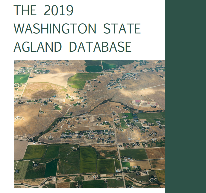
What is the Washington State Agland Database?
The Washington State Agland Database is a publicly available platform for analyzing the changing agricultural land base and its implications for the economy, natural resources, and communities of Washington State. Combining land use estimations with environmental, economic, regulatory, ownership, and tenure information is critical to understanding behaviors of private individuals and the complex interactions between public and private objectives.
Why is this important?
Agricultural land in Washington State is under threat of conversion to more developed lands uses. Within the 13 counties of the Puget Sound, 14,955 acres of agricultural land changed land-use from 2007 to 2019. The majority of the lost agricultural land came in the three most northern counties: Whatcom – 11,569 acres; Skagit – 7,353 acres; Snohomish – 9,248 acres. Only two counties in the Puget Sound gained agricultural land: Jefferson – 149 acres; King – 27,230 acres.
Conversion risk is uneven and depends on factors including land and crop value, proximity to population centers, and zoning regulations. A need existed to quantify the number of parcels, owners, and acres that have recently converted, and characterize parcels by attributes that can predict future conversion risk. This is why the team at the University of Washington created the Washington State Agland Database.
Access to the full report, map, and statistics can be found here at the NRSIG website.
Did you know?
This project was funded by the Stormwater Strategic Initiative through the National Estuary Program, funded by the EPA. The work directly supports the BIBI Implementation Strategy by assessing the total available agricultural land base in Puget Sound and helping us understand where development pressures may convert working lands, negatively impacting the watershed.