
Written by the Habitat Strategic Initiative and Stormwater Strategic Initiative
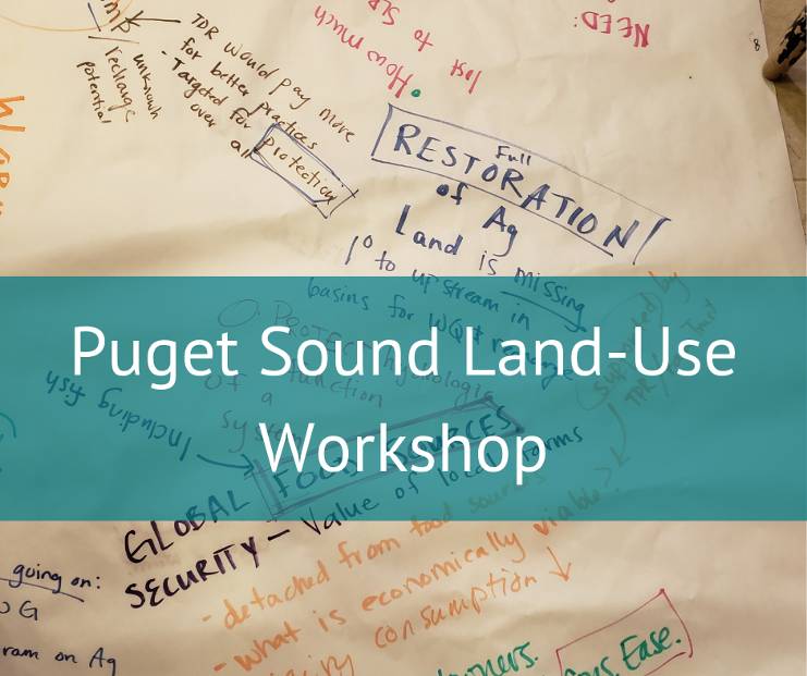
Considering the massive scale of Puget Sound recovery and the need to dig into specific solutions, a group of non-profits, elected officials, scientists, local governments and tribes gathered in November to discuss land use centered solutions for improving water quality and habitat.
The initial idea came when the Stormwater Strategic Initiative Advisory Team met this past summer and expressed a desire to focus on land use for developing finer scale solutions. By recognizing that Benthic Index of Biotic Integrity (BIBI) and Land Use/Land Development Implementation Strategies share common drivers and strategies, it was a natural fit to collaborate together on the workshop. The Stormwater and Habitat Strategic Initiative Leads (SILs) joined forces to host this workshop as a way of piloting small group discussions to identify solutions to vexing stormwater and habitat issues.
Interdisciplinary Group Effort
We were delighted to be joined that day by the Suquamish and Tulalip Tribes, non-profits such as Futurewise, The Nature Conservancy and Defenders of Wildlife, Mason and Snohomish Conservation Districts, research institutions, state agencies, and county and city planners and commissioners.
Our morning session was energized by three presentations:
- An Overview of the Growth Management Act by Charlene Andrade and Valerie Streeter, which surprised the audience by revealing regulatory and oversight gaps at the Department of Commerce as well as opportunities to leverage current policies to protect water quality and habitat
- A Case study by Jason Sullivan of Bonney Lake which illustrated how the city is engaging in integrated land use and water planning; and
- A Green Asset Management Program by Dave Ward about how Kitsap County is taking an asset management approach to its natural resources.
The entire group had an opportunity to look at priority actions that were linked to problem statements that had been developed through our Implementation Strategy development. The strategies are represented visually through Results Chains and from those, we added problem statements– for instance, “local decision makers may not have actionable information on where the most important areas to protect or restore are, or how future development is likely to impact resources and ecosystem processes.”
We then categorized the actions as:
- Projects to analyze and model data to inform planning;
- Monitoring and data collection projects to inform planning;
- Projects to collect, synthesize, and communicate actionable information;
- Land use/stormwater planning projects;
- Projects to combine multiple planning elements to provide multi-benefits;
- Assess and improve effectiveness and applicability of regulatory programs;
- Water resources planning projects;
- Projects to restore and preserve habitat and habitat function; and
- Projects that provide incentives for infill and redevelopment.
Diving In and Developing Solutions
Attendees gathered around these categories and added their own solutions, often adding elements to each other’s ideas or building off existing Near Term Actions. We then took all the Solutions off the wall and scored them using the pass-pass-score method. This yielded the top ten Solutions which became the topic of facilitated small group discussions in the afternoon.
Each table was covered in large format paper with headings for What, Who, Where, How and Why and the results were reported out to the room. While there is significant work that needs to be done with the Solutions to add more detail, the process generated valuable discussion regarding detailed implementation of the focus areas chosen.
| Solutions Generated |
| Ecosystem management decision support model platform (a) Develop and Deploy a simulation environment so decision makers (and the public) can try different actions and see how soon thresholds are crossed; (b) Data-Visualization: real-time pollution loading maps (using traffic as a proxy for pollutant loading). The Science Panel to the Puget Sound Partnership is currently discussing scenario planning. |
| Decision making with asset management (a) Funded project to merge structured decision making (SDM) with asset management- Decision Support Tool and Planning Processes and Forums (e.g. DASEES Model); and (b) Develop tool that identifies natural resource assets/ecological areas we are about most and the locations of highest risk or potential impact from development, SLR, etc. to prioritize land use decisions/locations of restoration/protection. |
| Self-assessment checklist (a) Funded project for a group of cities or counties to develop a self-assessment checklist about internal programs and processes for permit implementation and planning; (b) Maps out current organization of programs and how they’re meeting permit requirements- could be used as a tool/guide to inform Ecology’s permit audit. |
| Ecological net gain Ecological Net Gain: Change “no-net loses” paradigm to address legacy impacts |
| Assess and improve effectiveness and applicability of regulatory programs (with a focus on critical areas, shorelines, HCPs, groundwater and Forest-Fish-Flood) |
| Watershed-scale stormwater and habitat planning with flexible stormwater requirements Watershed-scale stormwater and habitat planning with flexible stormwater requirements. Guidance from Ecology’s water quality basin team to help local jurisdictions leverage flexibility in the stormwater manual to enable watershed-scale stormwater and habitat plans that use fee in lieu funds. |
| Assessment and implementation of ecosystem market system and program (credit trading) (a) Feasibility study; (b) Credit rating/value system; (c) Process incentives; (d) Implement |
| Projects to combine multiple planning elements to provide multiple-benefits Develop a framework for coordinating and combining protection, land restoration funding sources and outputs with multiple benefits; identify priorities, planning elements and projects. Need to coordinate and be able to combine funding sources to fund projects with multi-priorities (stormwater, water quality, salmon, floodplain, water quantity, critical areas). Reduce pollution through traffic reduction via mass transit or increased housing close to urban centers. |
| Use watershed planning to identify stormwater and habitat needs/goals on the watershed scale Use watershed planning to identify stormwater needs on the watershed scale, along with habitat goals and needs. Currently the WWSM is a one-sized fits all approach. |
| Incentives for depaving, private property retrofits and increasing urban tree cover Incentives for retrofitting community pollution (highways/roadways) on private property when cost is lowest (at the point of redevelopment). |
Moving Beyond Barriers and Problems
Throughout the day, participants worked together to develop a set of specific solutions that identify strategic actions – policy, projects, and research – that will guide the SILs in how they use their resources to inform action and investments for Puget Sound Recovery. These solutions are closely aligned with both the LDC, and may be incorporated into the draft BIBI and Toxics in Fish Implementation Strategy. Because Implementation Strategies are plans for achieving specific ecosystem targets for the Puget Sound Vital Sign indicators, the outcomes of this workshop align with and focus on recovery efforts on the greatest needs for Puget Sound recovery.
Did you know: The Stormwater and Habitat Strategic Initiatives recognize that pathways to Puget Sound recovery cross disciplines and agencies. They have worked in the past to host workshops, including Above and Beyond the Land Use regulations to review the lessons learned from the Watershed Lead Organization discussions and discuss next steps for shared learning about these complicated protection and restoration issues. The workshop was intended to have direct action associated with the developed solutions linked to each of the Implementation Strategies (BIBI, TIF, LDC).