Overview: This project was led by the Puget Sound Partnership and the Washington Department of Ecology to improve our ability to communicate progress on floodplain restoration in the Puget Sound Basin.
Regional and Watershed Experts Combine for an Improved Assessment of Floodplains
Through a process which engaged technical experts in floodplain management, salmon recovery, and spatial analysis, the Puget Sound Basin has a regionally and locally vetted product that:
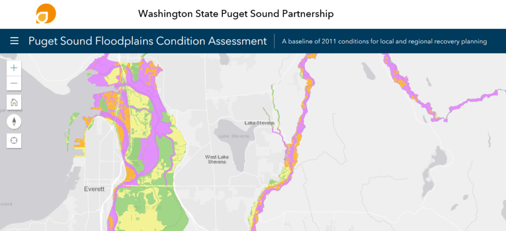
- Supports the 2015 Floodplains Implementation Strategy by providing regional and local recovery planners with a spatial database of floodplain extent and condition
- Outlines methods for restoration project tracking to more accurately quantify and communicate progress towards the Floodplains Vital Sign Target established by the Puget Sound Action Agenda
- Provides recommendations for ways to improve the Floodplain Vital Sign Target in the future

A Value to Local Recovery Planning
The project engaged floodplain experts in three pilot watersheds to refine the mapping with local data for floodplains in those areas. This provided an opportunity to identify a subset of the historic floodplain which is currently more frequently flooded and hence a higher priority for restoration investments. This subset was provided in a spatial database and will be useful for local salmon recovery planning and performance tracking.
Looking Forward
Future work following on this project will include:
- Continuing to refine the remaining 14 major floodplain maps with local partners
- Engaging regional grant programs in use of the project tracking methods
- Informing future Vital Sign updates and target setting
Did you know: The Habitat Strategic Initiative is working to refine and implement the Floodplains Implementation Strategy which aims to support integrated floodplain management and increase the connection of rivers in Puget Sound’s largest river deltas.

