

Overview:
This project allows decision-makers and farmers to plan for and be resilient to future risks of changes in flooding, groundwater levels, and population growth’s impacts on communities, agriculture, and habitat. It will provide groundwater level predictions, an online tool with the predictions, education, and strategies to protect farmers and the local communities.
What we are doing:
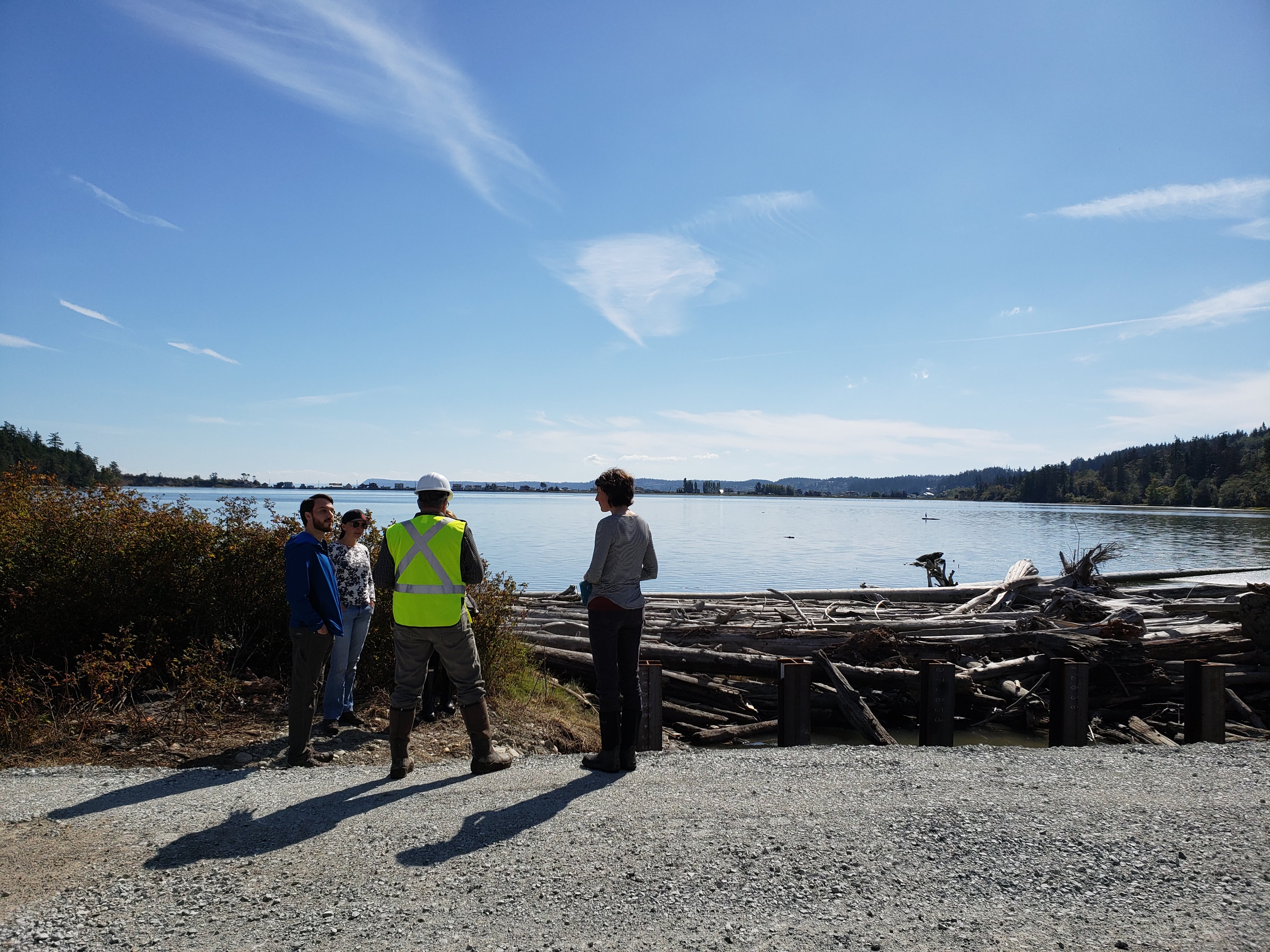
The Snohomish Conservation District (SCD) is creating an Agriculture Resilience Plan for Snohomish County. To plan for a resilient future, farmers need information and assistance for dealing with future changes to hydrology and weather. This information will include changes in flooding, groundwater levels, saltwater intrusion, water availability and growing season. With NEP funding, SCD and partners will:
- Map predicted changes in groundwater levels in estuary lands due to sea level rise and increased flooding (Partner: USGS)
- Add flooding, groundwater level, and project data to an online decision tool (Partner: The Nature Conservancy)
- Map high priority farmland at risk of conversion and develop a funding strategy to remove development rights (Partner: PCC Farmland
Trust) - Work with local farmers and partners in the Sustainable Lands Strategy to incorporate climate resilience into multi-benefit project packages in the floodplains
What you can do:
Help us create a future for our communities that supports local agriculture, clean water, and healthy fish and wildlife habitat. Contact the Snohomish Conservation District to learn what you can do on your own property or to assist us in development of the Agriculture Resilience Plan.
About our organization:
The Snohomish Conservation District has been working with private landowners for the past 75 years. Our mission is to protect and restore natural resources which we do by empowering landowners to implement practices that protect soils, water quality, and wildlife habitat.
Did you know: The Habitat Strategic Initiative is working to refine and implement the Floodplains Implementation Strategy which aims to support integrated floodplain management and increase the connection of rivers in Puget Sound’s largest river deltas.