
The Habitat Strategic Initiative team is excited to announce our first informational webinar! Part of our goal is to help connect people across Puget Sound with tools and information that can help them in their work to protect and restore Puget Sound. We’ll host occasional presentations and workshops to highlight innovative tools, methods, partnerships, and resources.
Our first webinar will focus on Land Development and Cover: managing human land use and population growth while protecting ecologically important areas. One of the main objectives of the Land Development and Cover Implementation Strategy is to identify lands that are important to the local communities for their ecological value, and develop ways to ensure that those lands are protected. This webinar will introduce a tool that helps local governments plan for growth while protecting Puget Sound.
About the Puget Sound Mapping Project
The Puget Sound Mapping Project is run by the Washington State Department of Commerce and is funded by the National Estuary Program. It is an interactive map like no other. The map shows where Washington residents currently live and where they want to move to and build new houses. It provides information to support local planners, helping to guide their decisions on where to permit new developments. Overall, this helps concentrate land conversion and residential development in areas where residents want to move while still protecting the lands that are of ecological value to local communities.
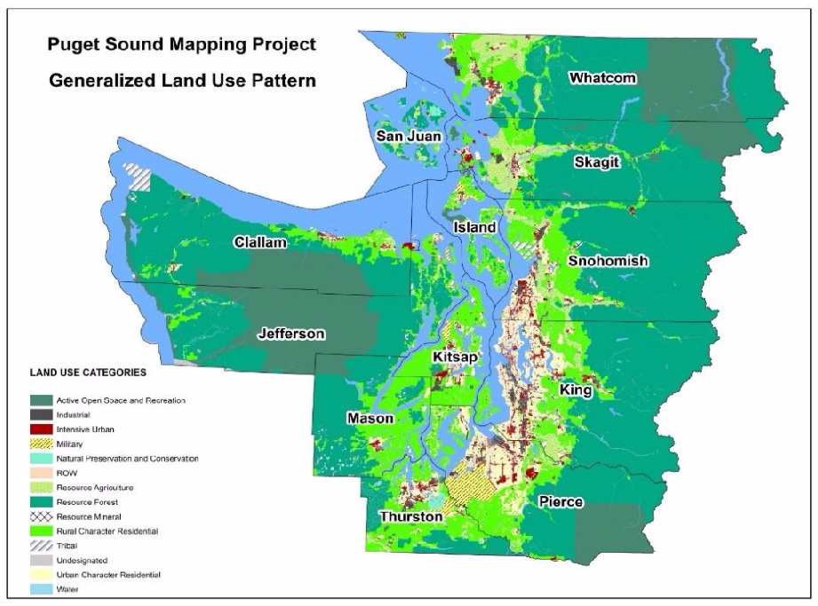
What does the map do?
The interactive map is a one-stop shop for answer development questions by showcasing data about the location of new and planned developments throughout Puget Sound. Local governments can use this tool to make informed population growth and development decisions.
Using the tool, local governments can:
- Showcase the location of current residential developments and track new developments over time
- Educate the public about how population growth and development impacts various natural functions in their area
- Help prioritize locations that need to change the development patterns to positively impact water quality and health of Puget Sound
- Show where most of the population growth is occurring
Join the presentation!
Allan Johnson will present the interactive map and showcase the outputs from the Puget Sound Mapping Project. Please join us to learn more about the project.
When: Tuesday, September 26, 2017 12:30-1:30pm
How: Join the meeting: https://watech.webex.com/watech/j.php?MTID=m38310e59c70cc9ce7779cdc3a4eee7f4
Meeting Number (Access Code): 808 430 378
Join by phone: (240) 454-0887Meeting Password: URGPapk2
If you cannot attend, check back for a blog post about the presentation!